Remote sensing

Our research in remote sensing involves using deep learning methods to analyze satellite and aerial imagery. We are interested in both methodological and applied aspects of the research.
Foundation models for Earth observation

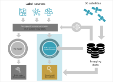
We study foundation models for Earth observation, focusing on transferable representations, multispectral imagery, cross-modal knowledge transfer, and efficient adaptation across sensors and tasks.

Remote sensing change detection

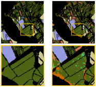
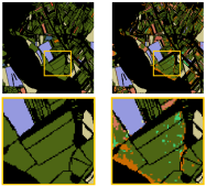
We develop supervised and unsupervised methods for detecting semantic changes in multi-temporal Earth-observation imagery, with an emphasis on robust design, generalization, and limited annotations.

Satellite image time series

We use time-series analysis of multispectral Sentinel-2 imagery to identify crops, with an emphasis on early classification and the temporal and spatial transferability of models.

Elevation model analysis

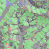
We use deep learning and semantic segmentation to identify cultivated terraces in elevation data, addressing noisy labels, class imbalance, and transferability between regions.